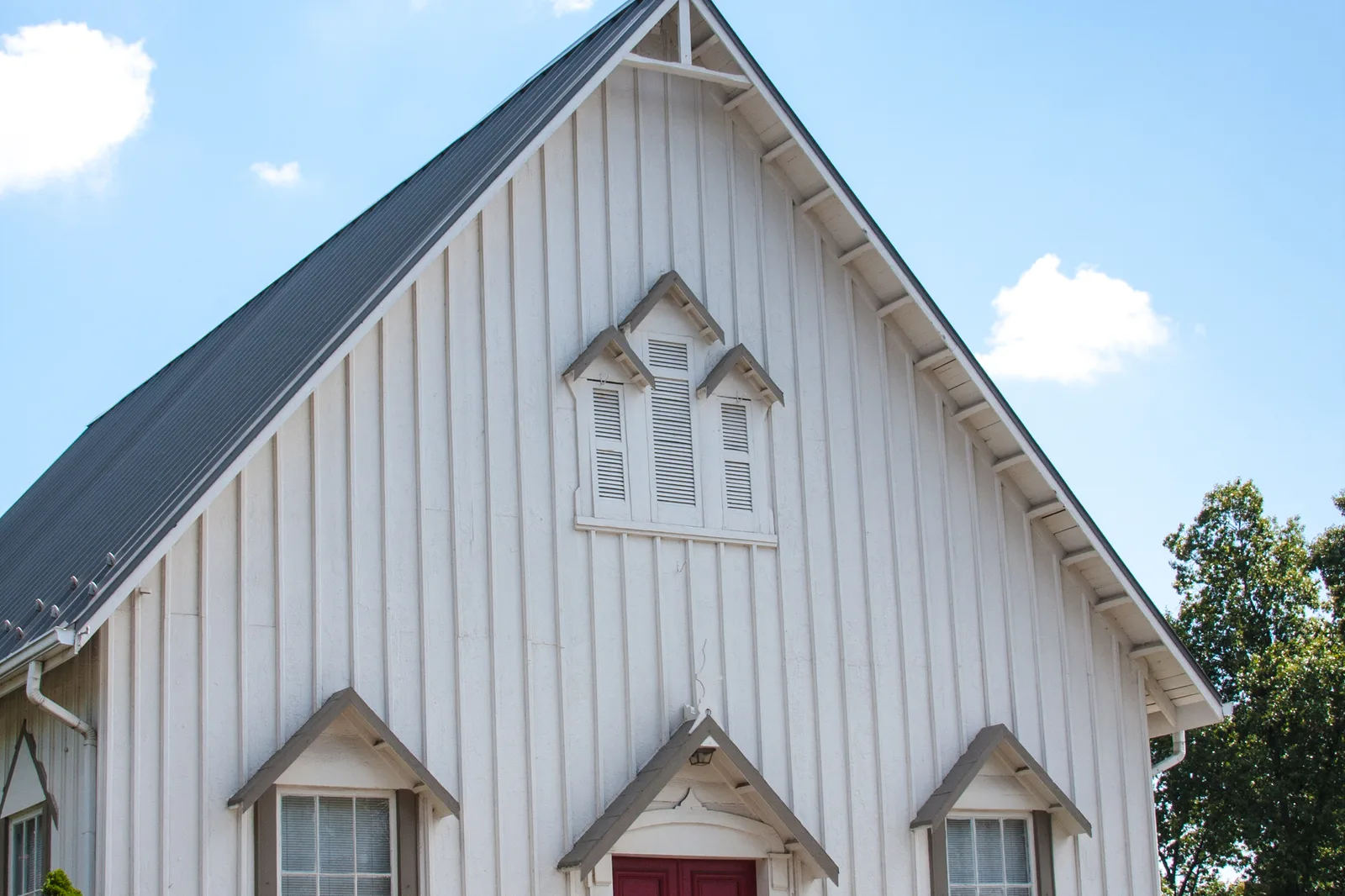
Old Ashburn, the 165-acre historic village on Ashburn Road, is a county conservation overlay district in ZIP 20147, mostly zoned for Stone Bridge High.
Last checked Oct. 19, 2026. The boundary is Loudoun County’s Village Conservation Overlay District layer (district “Ashburn,” adopted under ZMAP-2002-0014); planning policy is the county’s 2019 General Plan, Chapter 2; school zones are the county’s 2026-27 elementary, middle and high school zone layers, counted over the county’s address points; ratings are the Virginia Department of Education’s School Quality Profiles; home values are the Zillow Home Value Index (Zillow Research); buses are Loudoun County Transit’s GTFS feed (Sept. 27, 2026); stores and road distances come from OpenStreetMap (© OpenStreetMap contributors).
Old Ashburn is the railroad village the rest of Ashburn grew around, a strip of about 165 acres along Ashburn Road where the W&OD Trail crosses it. Loudoun County maps it as the Ashburn district of its Village Conservation Overlay District, and the county’s 2019 General Plan names it one of eastern Loudoun’s three “legacy village cores,” with Arcola and Old Sterling. It is in ZIP code 20147 and inside the Census Bureau’s Ashburn boundary.
What this means for you
- Zoned high school: Stone Bridge High, 43100 Hay Road (about 97% of addresses; the rest Broad Run High)
- Typical home value, ZIP 20147: $746,114 in September 2026, according to Zillow
- Nearest Dulles Greenway exit: Exit 4 (Belmont Ridge Road), about 3.2 miles by road
- Before you build: county overlay rules apply; Building and Development, 703-777-0220
Where it is
The overlay district follows Ashburn Road from near Hay Road north past the W&OD Trail, with Ashburn Farm to the west and Ashburn Village to the east; its northern tip reaches toward Belmont. The railroad that is now the W&OD opened a depot at Ashburn Road in January 1860, and the village grew up around it. Its landmarks include Ashburn Presbyterian Church, 20962 Ashburn Road, listed on the National Register in 1999; the restored one-room Ashburn Colored School; and the Ashburn Volunteer Fire and Rescue Department’s Station 6, 20688 Ashburn Road. The history is in our history and landmarks guide.
What the county plans here
The General Plan asks the county to keep new building in scale with the old village. Its listed actions for the Ashburn core:
- zoning and design standards that copy the existing lot pattern, with buildings facing the street
- residential density of four units an acre or fewer
- commercial, flex and industrial buildings no larger than 10,000 square feet and no taller than three stories
- discouraging new car-oriented retail
- a community planning process to set “a unified planning vision” for Ashburn, Arcola and Old Sterling
The county’s Residential Communities layer centers about 200 homes in small subdivisions inside the district: 122 single-family houses and 78 townhouses. Check the zoning of any parcel before you plan an addition; see our building permits and zoning guide.
Schools
The district straddles zone lines. Of the 242 county address points inside it, about 97% are zoned for Trailside Middle and Stone Bridge High for 2026-27 and about 3% for Farmwell Station Middle and Broad Run High. For elementary school, about 60% are in the Cedar Lane zone, 37% in Newton-Lee and the rest in Dominion Trail or Ashburn Elementary.
| School | Grades | Address | Share of addresses | State rating |
|---|---|---|---|---|
| Cedar Lane Elementary | K-5 | 43700 Tolamac Drive | 60% | Distinguished |
| Newton-Lee Elementary | K-5 | 43335 Gloucester Parkway | 37% | Meets Expectations |
| Trailside Middle | 6-8 | 20325 Claiborne Parkway | 97% | Distinguished |
| Stone Bridge High | 9-12 | 43100 Hay Road | 97% | Distinguished |
| Broad Run High | 9-12 | 21670 Ashburn Road | 3% | Meets Expectations |
The rating is the school’s level in Virginia’s School Performance and Support Framework; all are Fully Accredited for 2025-26. Because the lines cut through the village, check one address in the LCPS Attendance Boundary E-Listing (LABEL). More in our schools guide.
Home values
Zillow’s Home Value Index for ZIP 20147 was $746,114 in September 2026, up 0.9% from $739,759 a year earlier, according to Zillow’s ZIP code file. Zillow’s figure for all of Ashburn was $795,910, up 0.5%. Old Ashburn is a tiny part of that ZIP, so the figure says little about any one house here. The index is a modeled typical value, not a sale price. See our home prices guide.
Parks and trails
- The W&OD Trail runs through the village. NOVA Parks keeps a 40-car trail lot where it crosses Ashburn Road, opposite the Partlow Brothers Store, near Mile Marker 27.5. The trail is open 5 a.m. to 9 p.m. daily.
- Ashburn Park, 43645 Partlow Road, about half a mile southwest in Ashburn Farm: 16 acres with creekside nature trails and a playground.
- Ashburn Library, 43316 Hay Road, is under a mile away.
See our walking and biking trails guide.
Getting around
Distances are measured on the road network from the middle of the district (OSRM routing on OpenStreetMap data); they are not drive times.
| To | Distance |
|---|---|
| Dulles Greenway Exit 4 (Belmont Ridge Road) | about 3.2 miles |
| One Loudoun | about 3.3 miles |
| Ashburn Metro station (Silver Line) | about 5.0 miles |
| Washington Dulles International Airport | about 9.4 miles |
No county bus stops inside the district. The nearest, about 0.4 miles away on Gloucester Parkway, are served by fare-free Route 341 (at Grottoes Drive) and Route 342 (at Ringold Drive), both to the Ashburn Metro station, according to Loudoun County Transit’s GTFS data. See our getting around guide.
Groceries and everyday stores
OpenStreetMap lists no supermarket inside the district. Within about a mile: Walgreens, 20321 Susan Leslie Drive; Giant, 44110 Ashburn Shopping Plaza; and Giant, 43330 Junction Plaza.
How to check an address
Search the parcel on Loudoun County’s WebLogis map to see whether it is inside the overlay district, then check the schools in LABEL. Real estate tax is billed by Loudoun County; see our property tax guide. All 10 areas are on our Ashburn neighborhoods guide.
Frequently asked questions
Where is Old Ashburn?
Along Ashburn Road where the W&OD Trail crosses it, between Ashburn Farm and Ashburn Village. Loudoun County maps it as the Ashburn district of its Village Conservation Overlay District, about 165 acres, all in ZIP 20147.
What schools serve Old Ashburn?
About 97% of the county’s address points in the district are zoned for Trailside Middle and Stone Bridge High for 2026-27. The elementary school is Cedar Lane for about 60% and Newton-Lee for about 37%.
What are the building rules in Old Ashburn?
Loudoun County’s 2019 General Plan calls Ashburn a legacy village core and asks for zoning that keeps homes at four units an acre or fewer, caps commercial building footprints at 10,000 square feet and heights at three stories, and discourages new car-oriented stores.
Is there parking for the W&OD Trail in Old Ashburn?
Yes. NOVA Parks runs a 40-car trail lot where the W&OD crosses Ashburn Road, opposite the Partlow Brothers Store, near Mile Marker 27.5.
Have your say